Estuary - Leschenault
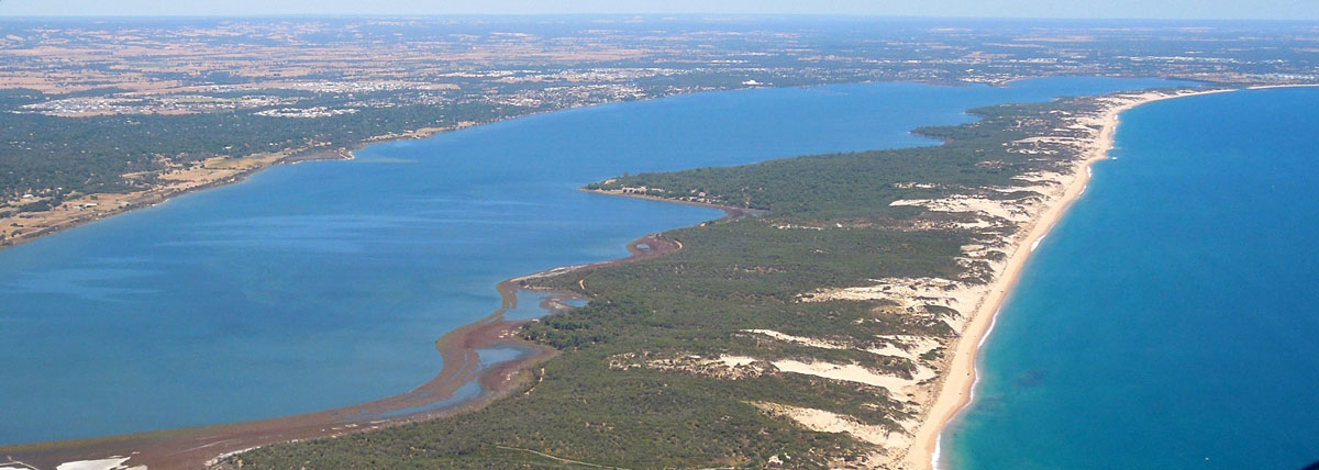
The Leschenault Estuary is uncharacteristic of permanently open estuaries due to its long narrow shape and the location of the Collie and Preston river inflows on its south side opposite “the cut”. It is also consistently very shallow through the main basin (<2 metres). Before “the cut” was built (i.e. before 1951), the estuary was mostly brackish during winter. However increased marine exchange through this artificial opening has resulted in the estuary becoming predominantly marine in salinity. During summer, the northern estuary can reach salinity concentrations nearly twice that of seawater due to evaporation.
Freshwater flows to the estuary have also altered with both declining rainfall and restriction in flows due to the construction of dams in the catchment, such as the Wellington dam. With the reduction of freshwater flows, salinity stratification (the layering of fresh water over more saline water) is more prolonged in the estuarine rivers of the Collie, Brunswick and Preston. Here, release of nutrients from the bottom sediments is evident and low oxygen in the water is common. These conditions favour phytoplankton blooms, and can result in fish deaths.
Leschenault Estuary
Leschanault estuary is in the boodjar (country) of the Wadandi Noongar people, and is known as Derbal Elaap.
Derbal means estuary and Elaap refers to the territory of the Elaap clan group of the Wadandi tribe or Yoongan Jarli Elaap (People of Elaap).
This district was known also known as home to the Cultaa Yoongan Jarli (Mullet people). Both Yellow Eye (Aldrichetta forsteri) and Sea Mullet (Mugil cephalus) use the Leschenault estuary as a nursery area.
*Cultural informants Undalup Association /Zac and Wayne Webb.

Elaap refers to Yoongan Jarli Elaap - People of Elaap.
