
Catchment officers and government staff met in Manjimup on Wednesday 18 August to take the next step forward in the Healthy Estuaries WA fertiliser management program.
This year will see an increase in the number of people able to digitise farm maps, with our catchment officers learning from staff at the Department of Primary Industry and Regional Development (DPIRD). Previously, only DPIRD staff had the expertise necessary to digitise farm maps and define paddock boundaries, making it challenging to increase the number of farms able to be included in the program.
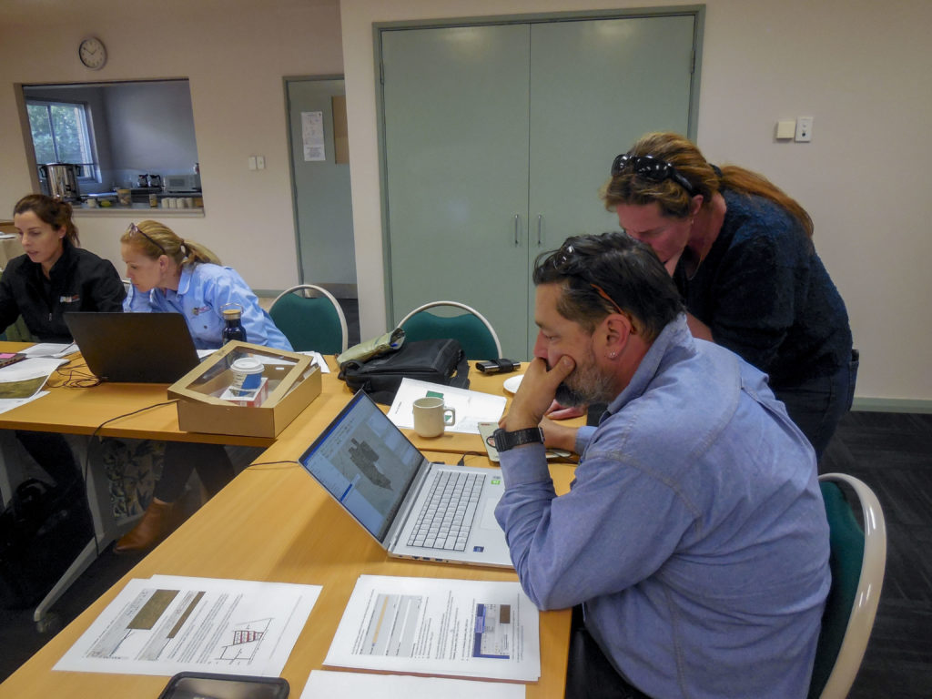
Catchment officers have now received training to turn hand drawn maps of farm properties, submitted by farmers as a part of the application process, into digital maps. These digital maps are an essential part of the fertiliser management program, helping to capture soil sampling locations and report results back to participants as colour-coded maps.
The event in Manjimup helped to consolidate learnings as the teams digitised the first of this year’s maps together. For the 2021–22 program, 193 maps have been digitised.
Deborah Holtham, Sustainable Agriculture Program Coordinator with the Department of Water and Environmental Regulation, said the day was a chance to iron out any problems collaboratively and build everyone’s confidence in their new skills.
“It made a big difference to be able to sit down with everyone and make sure we were all tackling problems consistently. It’s quite a fiddly job so it was handy to be able to share some of the tricks and software shortcuts which make the process more efficient,” Deborah said.
“It’s one of the most important parts of the program to get right – if the map isn’t correct then it causes complications with soil sampling and reporting results. It gave me a new appreciation for the work that the team at DPIRD have been doing for many years.”
You can read more about this year’s soil testing program here.