
Wilson Inlet - The estuary
Wilson Inlet is a seasonally closed estuary. The major part of the inlet comprises a broad, shallow, flat-bottomed lagoon that lies behind coastal dunes. The inlet has a surface area of 48 km²; it opens to the Southern Ocean through a sandy flood-tide delta that breaks through the coastal dunes adjacent to a granitic headland. A sand bar isolates the estuary from the ocean for several months a year. Primarily to mitigate against flooding, the bar is artificially opened most years, once the water level reaches about 1 m above mean sea level (MSL). The inlet floor has an average depth of 1.8 m below MSL, and a maximum depth of 4 m below MSL.
Clearing and agricultural land uses have resulted in excessive nutrients entering the estuary, the response has been a proliferation of the seagrass, Ruppia. The Ruppia removes considerable nutrient loads from the estuary and probably protects the estuary from algal blooms. The only effective way to reduce its growth is to reduce catchment nutrient sources.
Aboriginal significance
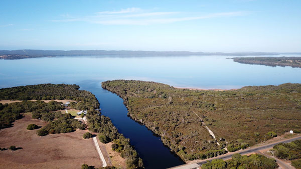
Jennalup where the Hay River runs into the Wilson Inlet
Wilson Inlet is in the boodjar (country) of the Menang Noongar people. The peninsula that separates the estuary from the ocean and creates Wilson Inlet is known as Nullaki, which means narrow place of seaweed.
Jennalup is the name for the area where the Hay River runs into the Wilson Inlet, and means place where you can cross by foot.
Kwoorabup means place of the western brush tailed wallaby (Macropus irma) which is called a Kwoora, and refers to the area where the Denmark River runs into the Wilson Inlet.
The inlet is known as a place of Djiljit Boola (fish plenty)
*Cultural informants Undalup Association /Zac and Wayne Webb in consultation with Menang elder Harley Coyne.