

Catchment modelling
The Regional Estuaries Initiative is developing catchment models that quantify the amount of water and nutrients (nitrogen and phosphorus) that flow to our rivers and estuaries. This involves understanding the catchment in terms of drainage and land use and how different land uses contribute different amounts of nutrient.
Catchment models will allow us to predict the potential impacts of changing land uses and climate on the health of waterways. Catchment models will link to estuary models to provide a whole-of-system understanding. Together, these models are used to inform investment planning and target on-ground actions that will have the biggest benefit for the estuary and surrounding waterways.
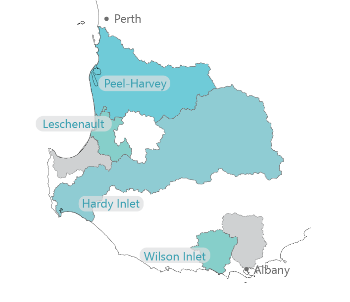
Catchment models are being completed for the Peel-Harvey, Vasse-Wonnerup, Hardy Inlet and Wilson Inlet catchments.
Other projects
- Better collaborative drainage management
- Booiyup - Centennial Park Wetland
- Brockman Park
- Capacity building
- Catchment monitoring and condition
- DairyCare
- Estuary modelling
- Estuary monitoring and condition
- Fencing and revegetation
- Fertiliser management program
- Investment planning for catchment actions
- Phosphorus binding clay
- River health assessments
- Seagrass monitoring
- Soil amendments
- Soil Wise
- uPtake
- Urban garden fertiliser use in Leschenault Catchment
- Yakamia Creek
- Z-Filter trial