
Estuary modelling
The Regional Estuaries Initiative developed estuary models that will use inputs from corresponding catchment models to understand how these complex ecosystems behave and react to change.
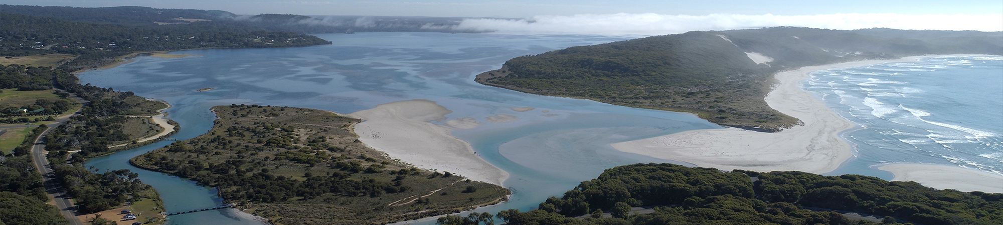
Estuary models are physically-based and use meteorological inputs such as rainfall, temperature, wind and solar radiation, along with the catchment inflows and ocean exchange, to determine flow, temperature and salinity in an estuary. The models can be used to predict how estuaries will respond to scenarios such as reduced rainfall, one-off weather events (like storms) and increased ocean exchange (due to opening sand bars, surge barrier management or increased ocean levels).
Models are used to inform investment planning and target on-ground actions that will have the biggest benefit for the estuary and surrounding waterways.
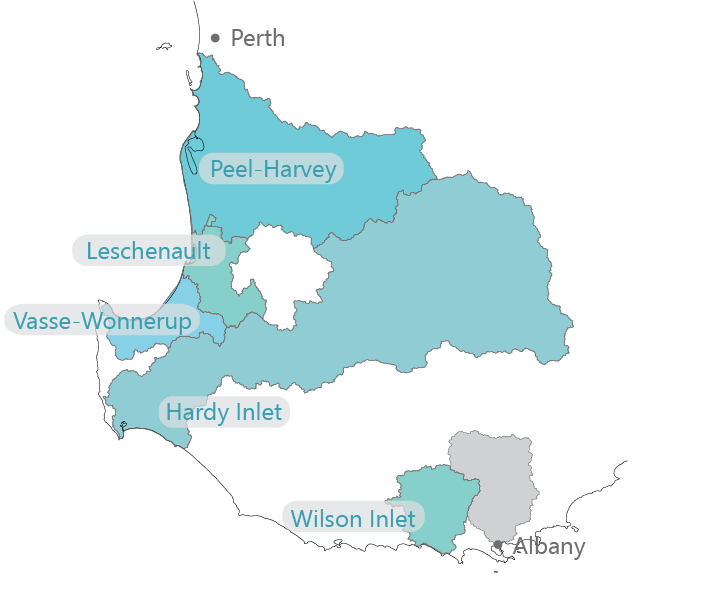
Estuary models have been completed for the Peel-Harvey, Leschenault, Vasse-Wonnerup, Hardy Inlet and Wilson Inlet estuaries.
The University of Western Australia and Delft Technical University partnered with the Department of Water and Environmental Regulation to develop the estuary models for the Peel-Harvey and Leschenault estuaries respectively.
Other projects
- Better collaborative drainage management
- Booiyup - Centennial Park Wetland
- Brockman Park
- Capacity building
- Catchment modelling
- Catchment monitoring and condition
- DairyCare
- Estuary monitoring and condition
- Fencing and revegetation
- Fertiliser management program
- Investment planning for catchment actions
- Phosphorus binding clay
- River health assessments
- Seagrass monitoring
- Soil amendments
- Soil Wise
- uPtake
- Urban garden fertiliser use in Leschenault Catchment
- Yakamia Creek
- Z-Filter trial