
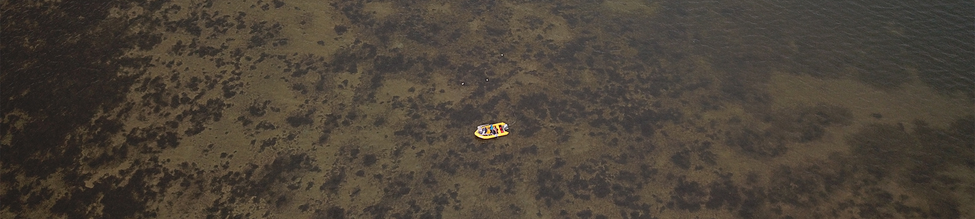
Seagrass monitoring
Seagrass meadows are an important part of estuarine ecosystems, providing habitat and food for birds and marine life and contributing to good water and sediment quality. The Department of Water and Environmental Regulation’s seagrass team currently monitors the distribution, abundance and health of seagrasses in four estuaries. Understanding the condition of seagrass contributes to an integrated understanding of estuary health.
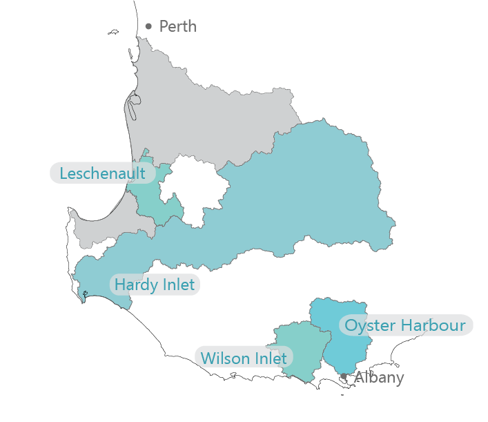
Seagrass distribution maps will be developed for the Hardy Inlet, Wilson Inlet and Oyster Harbour. The seagrass in Leschenault Estuary will be monitored yearly after a collapse in seagrass abundance between 2009 and 2015. More frequent monitoring will help understand how seagrass recovers after large, damaging events.
Find out more about seagrass and our seagrass monitoring program here.
Read the latest seagrass report here.
Other projects
- Better collaborative drainage management
- Booiyup - Centennial Park Wetland
- Brockman Park
- Capacity building
- Catchment modelling
- Catchment monitoring and condition
- DairyCare
- Estuary modelling
- Estuary monitoring and condition
- Fencing and revegetation
- Fertiliser management program
- Investment planning for catchment actions
- Phosphorus binding clay
- River health assessments
- Soil amendments
- Soil Wise
- uPtake
- Urban garden fertiliser use in Leschenault Catchment
- Yakamia Creek
- Z-Filter trial